
Saturday, February 26, 2011
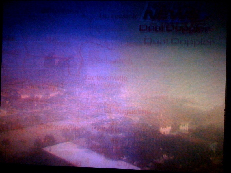
This is the time of year when you get plenty of fog which happens when our weather starts to warm up and you are still surrounded by a winter-chilled ocean. It can make forecasting a lot of fun for meteorologists and challenging too! This great shot by Mike Lyons really put this morning into perspective. While areas near Mandarin had bright sunshine to start our weekend out just to the north and east it was a much different story with ominous thicker clouds and fog. Another forecast impediment you have this time of year is exactly when will the fog form and or lift. Notice this morning at 10 a.m. our Jacksonville Beach camera captured some of this instant condensation, but by 11 a.m. it had lifted and you cold see the palm trees once again!

There were fog advisories for Camden and Glynn Counties but they have been allowed to expire. The next big key to the forecast today is how far south a weak cold front moves. The good news for us is that I do think it will stay mainly north of Interstate 10 today and it will continue to weaken. What is left of it moves north as a warm front tonight and this means you've guessed it more patchy dense fog on the way. But for today it does look like any sea fog that does develop should be over the ocean and will not scoot inland until this evening and overnight. This is hard to believe that this is what is left of the same cold front that brought over 200 storm reports including at least 10 tornadoes across the country. We can just call it a fog front now. Our beach camera at Jacksonville Beach confirms our sunny forecast. One thing to keep in mind though is that this is MONSTER JAM weekend not only at Everbank Field tonight but with our temperature you could call a monstrosity if you are not prepared. Check out what that cooler ocean breeze does this time of year!

Many areas on the soft sand and near the sea-shells will have highs stuck in the upper 60s while just inland it will be near 80. Even areas north of the front across inland southeast Georgia will have no problem reaching well into the 70s. This morning we said you may need a light jacket on the beach and keep the shorts out west of the Intracoastal Waterway! What is amazing is some of our inland areas like Palatka and Keystone Heights will have their 6th 80 degree day of the season. Our average high does not reach 80 degrees until mid-April. This will also be our 16th straight day of dry weather and 10th day in a row with above average temperatures. Yes, nature is on a roll! But too much too soon for some.

This may have been a nice change but look what it has done to our pollen count. It has not only come early this year but we have one of the highest pollen counts in the entire country! The count is really off our pollen page, but I had to make it fit for television purposes. Pollen seems to be accumulating faster on my car than an Alberta clipper snow. I washed my car this week early in the morning only to have it go back to a greenish color by evening. So even though we have good car washing weather with no rain in the forecast the next couple days we may have to wash our cars a couple times over. It is good exercise at least, it feels great out there in the sun and it certainly is better than shoveling snow. Although.....don't get me started...lol. Our big blog weather question today is when will we see this pattern shift. We do need the rain and are still playing catch-up from last year. This despite us already wrapping up above average rainfall for February. Will we dry out like we did over the summer into our autumn season? Well look no further than California!

It snowed in the hills of San Francisco for the first time in 35 years! It was not enough for a snowball fight but incredible. Las Vegas has a chance of snow tonight! Yes, what are the Vegas odds on that happening. This could be our pattern-changer and this storm should be strong enough to break down the big ridge of high pressure that has been keeping us warm and dry for the past couple of weeks. It should even bring at least some rain to our area by late Monday night and Tuesday morning. Temperatures may not reach 70 by the middle of next week even for inland locations! The good news is that more rain chances are in the forecast late next week and weekend! But until then it is sniffle and sneeze weather and we will continue to watch that fog closely again mainly at night and during the mornings. Temperatures could actually rebound into the 80s again by Sunday with even 80s possible at the beach on Monday! Tonight join me on First Coast News at 6, 6:30, and 11 and we will track another severe outbreak across the country by later Sunday into Monday and how it will impact us here at home. See you soon and enjoy the great weather!
No comments:
Post a Comment