Saturday September 10, 2011
Here is the infamous picture of what Dora did to downtown Jacksonville 47 years ago today. Yes, the Main Street bridge was about the only thing above water despite Dora makinig a direct lanfall about 40 miles farther south. The one big lesson learned from Dora was that inland flooding can be worse than coastal flooding. This is because the shallower the body of water (which in this case was the St. Johns River) the higher your storm surge. Now the beach had multiple issues with an 8 foot storm surge and waves of 20 feet on top of that. This caused about two dozen homes to be washed into the sea. Here is what was left of the Atlantic Beach pier.
This is quite a sight and if that was not enough the Jacksonville Beach pier was destroyed along with the famous ferris wheel. Wind gusts were clocked at high as 110 mph as the eye moved ashore in St. Augustine just after midnight. Folks reported birds feeding on swarms of insects as the skies went starry. It was quite an eerie sight. Notice the track went from St. Augustine through St. Johns County near the present day World Golf Village, through Clay County, Bradford, Union, and eventually Columbia County.
While rainfall amounts were in the six inch range east of the river, they increased to near 15" by time you were north of Lake City! So inland flooding from rain and storm surge was horrific. Luckily, there was ample warning that Dora was going to hit the First Coast and that held down the fatalities to only 4 which was quite a huge feat especially back then when the National Weather Service did not even have its own radar and doppler radar was not even invented yet. Now, 47 years later we are counting our blessings in the BLESSED COVE!
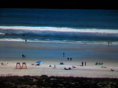
Here is what it looks like out on the beach this Saturday afternoon. All our big local teams have home games, including the Gators, Noles, and Bulldogs and I think rain will not be an issue. Enjoy the nice tailgating weather as well and if you are looking for a recipe I think the shrimp and grits will do and you can find it on firstcoastnews.com. I had the pleasure of scarfing that down this morning thanks to chef Abigail. Yummy! It was the first time I ever had it and I will be fixing it for dinner next week.
Now back to weather! Yes! it was a scene of utter destruction nearly 50 years ago but just a wonderful beach day today! Even though the tropics are off to their busiest start since 2005 when we had 28 named storms, we have been in the right place at the right time. Nature is literally hitting for the cycle with 4 tropical systems. Check it out!
Let's start with Nate on the far left heading to Mexico. Some models tried to bring moisture our way from this system. I did not buy it with this system way too far south and this is one reason I kept it mainly dry.
A second circle depicts Lee or the storm formally known as Lee which is the forgotten 11th billion-dollar disaster to hit our country this year. Do you realize portions of the Northeast have seen almost 2 feet of rain from this system including about a foot in Maryland that is seeing some of its worst flooding since Agnes in 1972. So once again I have been on the phone all week with family and friends up north. I do like keeping in touch but they may need a break from me or at least nature and soon! I do think Lee will finally weaken and lift out by late this weekend with improving weather for Washington, D.C. and New York City in time for the 9/11 ceremonies. But it is Lee that has helped wrap in dry air through much of the week and the atmosphere is dry even up through 20,000 and 30,000 feet. This is another reason I have a mainly dry forecast this weekend.
The third circle on the upper right is Katia and she will be near England by early next week. Bye bye and thanks for the great surf earlier this week. The fourth system circled near the windward islands is Maria and it should follow Katia's footsteps while bringing us more nice surf by Tuesday. Get ready surfers! The western Atlantic ridge combined with troughing along the East Coast that helped us set two record lows this week is not going anywhere anytime soon. So I can give us the all clear at least through the 20th but after that maybe some changes. Make sure to tune in and check out a much busier blog!
We have to keep our guard up! It is still thunderstorm season and today is the peak of hurricane season so we have a long way to go. In the short-term there is another wave of low pressure in the atmosphere that will try to move through the area by late tomorrow into Monday. Timing will be everything especially with the Jags home opener. Right now I think the big story will be the Jags staying undefeated, not another lightning delay. But there is a 20% chance of rain and I cannot rule out a thunderstorm for the game. We all know what happened last year. So this means a special blog update will be needed late tonight and once again Sunday morning. I think our highest chances of rain will still be after 4 p.m. when we are celebrating! This is what makes forecasting fun and that is the challenge. Have a great day and I will be back soon! Take care.
Subscribe to:
Post Comments (Atom)


No comments:
Post a Comment